


As one of four institutions chosen nationally, Oregon State University has received a grant of $6.5 million over the next five years aimed at modernizing the National Spatial Reference System.
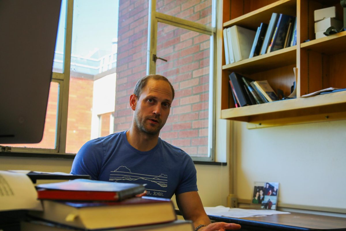
The grant, from the National Oceanic and Atmospheric Administration, is a substantial part of a nearly $20 million federal initiative set to revolutionize geospatial sciences across the United States, according to Chris Parrish, a professor in the OSU College of Engineering.
The core of this initiative is the establishment of the Geospatial Center for the Arctic and Pacific at the College of Engineering. Chris Parrish, who is also the director of GCAP, highlighted the critical nature of this project, notings the increasing interconnectedness of society and technology, especially in areas like autonomous vehicles, smart cities and geospatial artificial intelligence, which all rely heavily on accurate and consistent spatial coordinates.
“Our society and technology are increasingly connected and spatially aware,” Parrish said. “What all of those have in common is the need for accurate, consistent spatial coordinates that define locations on, above or below the Earth’s surface.”
The NSRS, which forms the foundation of these technologies, has not undergone a major update in over four decades. This modernization is crucial to keep pace with the rapid advancements in surveying, mapping and navigation technologies.
OSU’s role in this initiative is multifaceted, extending beyond the realms of funding, which Parrish said represents a deep commitment to research and education in the field of geospatial sciences.
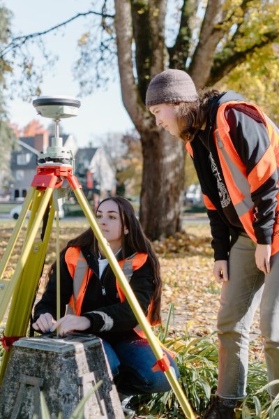
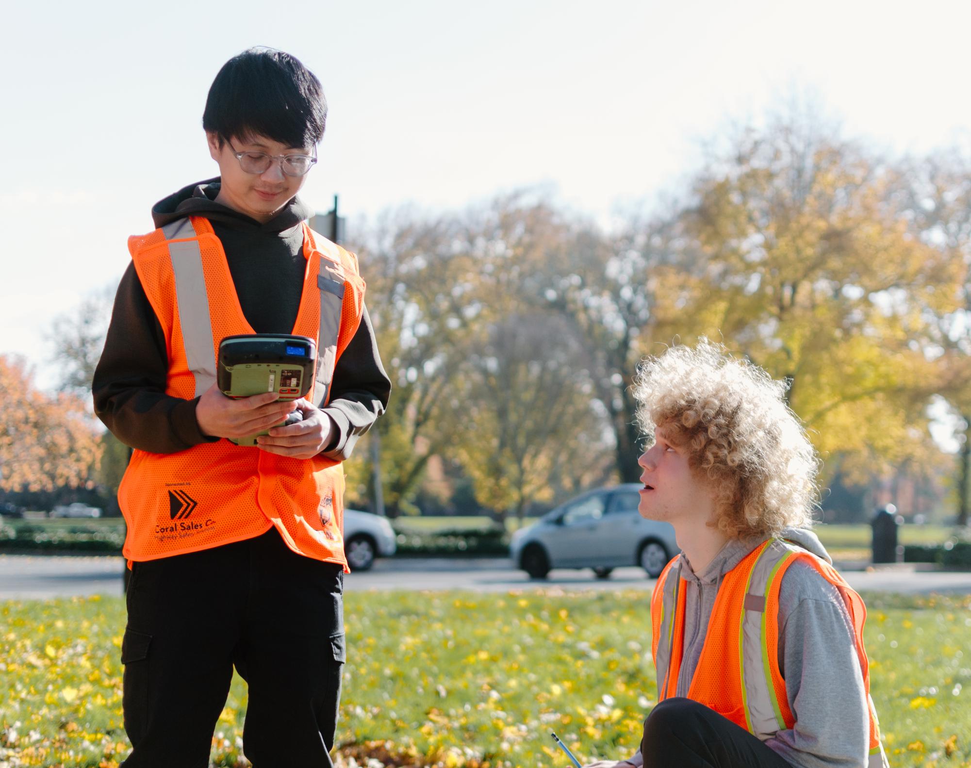
As outlined by Parrish, the GCAP will undertake eight different research tasks, including the development of new GNSS positioning techniques and improvements in hydrodynamic modeling for the protection of salmon habitats in rivers such as the Columbia and Klamath.
However, the project’s scope is not limited to technological advancements. A significant emphasis is placed on education and workforce development.
Parrish emphasized the urgency to develop the next generation of surveyors, geodesists and geospatial professionals, highlighting the need to address the declining trend in these fields.
“Education and workforce development are two of GCAP’s greatest priorities,” Parrish noted.
The modernization of the NSRS has wide-ranging implications. It will significantly enhance the accuracy and functionality of critical technologies in our society, like autonomous vehicles and smart cities, and contribute substantially to environmental sustainability. Improved spatial data will be instrumental in accurately modeling climate change impacts, promoting sustainable development and building resilience against natural disasters.
“I’m thrilled about OSU’s role in this groundbreaking project. It’s exciting to be part of a university that’s shaping the future of geospatial technology,” said Gowtham Arulmozhi, a master’s student studying AI at OSU.
Similarly, Logeshwaran Sivakumar, a master’s student studying computer science, views the project as perfectly aligning with his future goals.
“GCAP’s focus on modernizing geospatial systems directly aligns with my career goals in smart city development,” Sivakumar remarked.